100% Interest
Inomin owns a 100% interest in the Pena Blanca gold-silver property located in Mexico.
Established Mining Belt
The property is situated in the Oaxaca Gold-Silver Belt a mineral trend that hosts several operating mines and prospects including Gold Resource’s (NYSE: GORO) Arista and Mirador gold-silver mines, and the San Jose gold-silver mine.
Large, Near-Surface, Gold and Silver System
Pena Blanca is a large-tonnage, epithermal, gold-silver prospect covering an extensive area of hydrothermal alteration and mineralized structures.
Overview
Similar to the La Gitana gold-silver property, Pena Blanca hosts an epithermal mineral system with a substantial footprint. Initial exploration has identified gold-bearing, hydrothermal alteration over approximately 9 square kilometres, of which less than 1 square kilometre has been systematically mapped and sampled. The style of the alteration and mineralization, as well as the size and orientation of structures, suggests Pena Blanca has potential to host a large, gold-silver mineral system.
Location
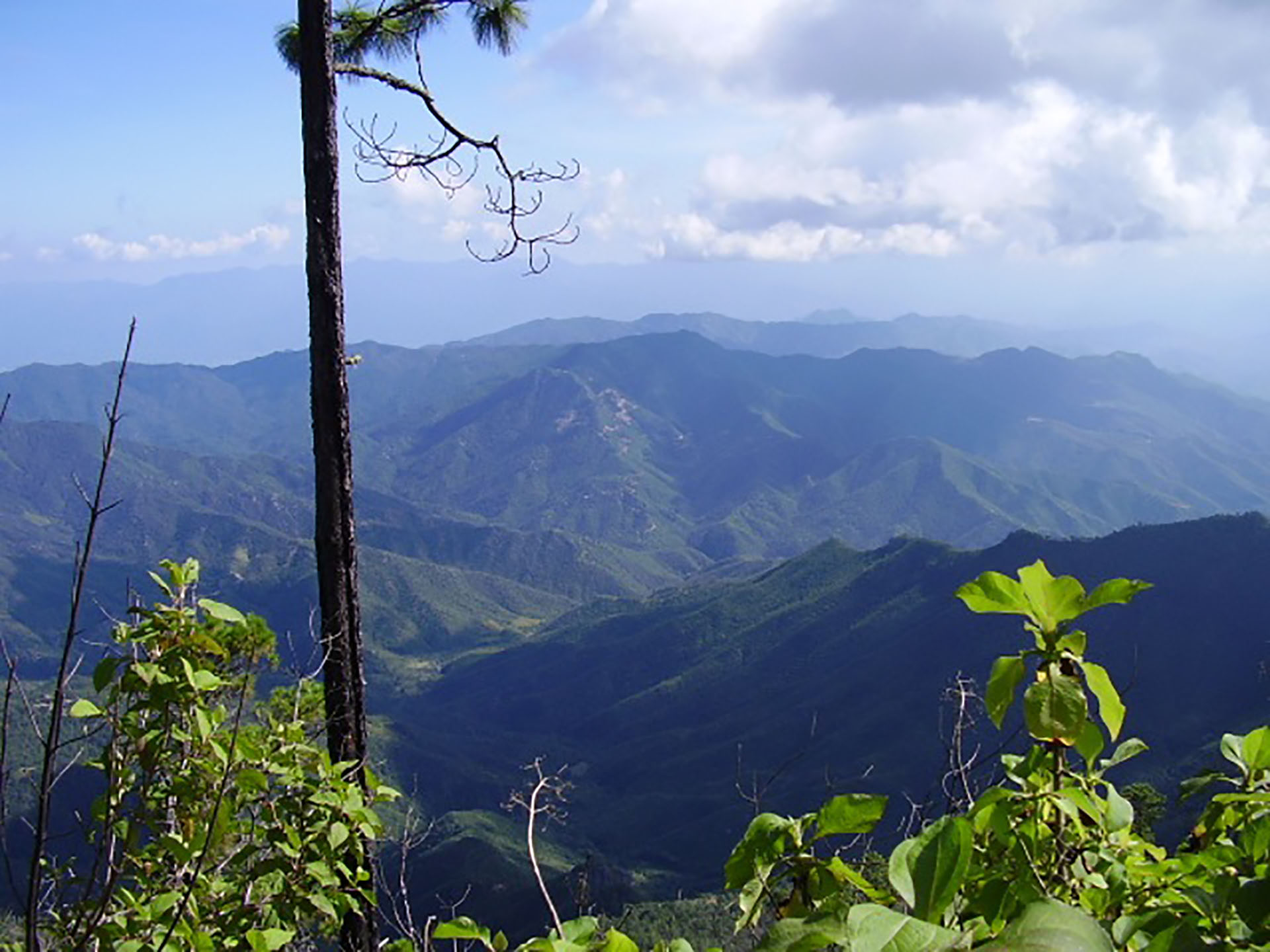
The Pena Blanca property is located in Oaxaca State, Mexico approximately 15 kilometres from Inomin’s La Gitana gold-silver project. Pena Blanca is situated in the Oaxaca Gold-Silver Belt, a major northwest trending regional structure that extends for approximately 120 kilometres. This mineral-rich belt, hosts several operating mines and prospects including Gold Resource’s Arista and Mirador gold-silver mines, and the San Jose gold-silver mine.

Mineralization and Exploration
Pena Blanca is a large-tonnage, epithermal gold-silver prospect discovered in 2005 by Chesapeake Gold Corp. during a regional-scale stream sediment sampling program. As reported by Chesapeake, sediment anomalies ranging between 276 ppb to 2,200 ppb gold have been discovered from a 2.5 kilometre by 3.5 kilometre area surrounding Pena Blanca ridge.
Disclosure Note: All exploration results on the Pena Blanca property reported herein is information completed and disclosed publically by Chesapeake Gold Corp. and/or Gunpoint Exploration Ltd. The reliability of historical results is uncertain but considered to be relevant by Company management, however, there is a risk that any future exploration may produce results that substantially differ from the historical results.

Geochemical assay results obtained by Chesapeake from a 300 metre by 1,000 metre soil sample grid at Pena Blanca show a broad, N-NW trending gold anomaly with values above 0.2 g/t gold extending across the entire length of the grid. A stronger anomaly, greater than 0.5 g/t gold, is also observed across a core area of 200 metres by 400 metres to the northwest of the grid. The soil geochemistry data indicates that the mineralization has a strong northwest component, and extends for more than 1 kilometre along strike.
Chesapeake collected channel rock samples from outcrops and hand-dug trenches excavated in a 200 metre by 300 metre area located at the northwest end of the soil sample grid (see maps). This area of Pena Blanca has more intense silica-argillic alteration and coincides with the soil grid’s 1.0 g/t plus gold anomaly. The sample cuts were taken across several different zones 50 metres to 100 metres apart.


High-grade structures and widespread low-grade disseminated mineralization were discovered throughout the 200 metre by 300 metre core area with many of the section cuts ending in mineralization. One outcrop zone, located to the southwest, returned an intersection of 23.5 metres of 2.26 g/t gold and 178 g/t silver from a partially exposed northeast trending quartz stockwork system. Other significant intersections include 46 metres of 0.61 g/t gold 200 metres to the southeast, and 25 metres of 0.47 g/t gold 150 metres more to the northeast.
Trenching and outcrop channel sampling results reported by Chesapeake are as follows:

The Pena Blanca prospect covers 9 square kilometres of hydrothermal alteration of which less than 1 square kilometre has been systematically mapped and sampled. Another zone, located about 1 kilometre east-northeast of the Pena Blanca zone, returned rock ship assay results of up to 4.8 g/t gold. The mineralization is associated with a swarm of northwest trending, sub-parallel quartz veins, 1 metre to 5 metres in width, partially exposed for more than 500 metres along strike.
Numerous other mineralized zones marked by stream sediment, soil and rock chip anomalies have been found at Pena Blanca. The style of the alteration and mineralization, together with the orientation and size of structures, suggests Pena Blanca has potential to host a large, epithermal gold-silver mineral system.

